 LocationMe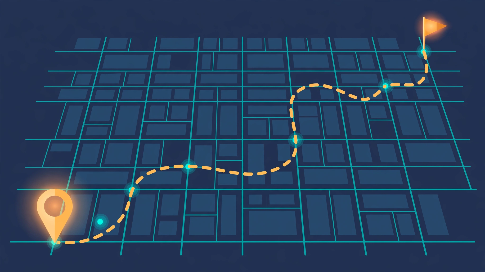
Sketching a route on a map is the quickest way to plan a multi-stop trip. You drop waypoints on the spots you want to visit, and the tool connects them and shows the total distance.
In this guide, you will learn how to draw a route on a map with a free route planner, how to measure distance between points, and how to plan multi-stop trip itineraries without installing an app.
All of this works in your browser with no signup. Your sketches stay private on your own device.
What does it mean to sketch a route?
A sketched route is a hand-drawn path on a map. You place waypoints, which are markers for each stop, and the tool draws lines between them in order.
This is different from turn-by-turn navigation. Navigation follows real roads and gives driving directions. A sketched route shows the straight-line path and total distance, which is perfect for early planning.
Hikers sketch routes to estimate trail distance. Travelers sketch them to compare itinerary options. Delivery planners use them to order stops sensibly before a shift.
Sketching also works as a thinking tool. Even a rough sketch beats a plain list of addresses when you want to see the shape of a trip at a glance.
Sketching also works as a thinking tool. Even a rough sketch beats a plain list of addresses when you want to see the shape of a trip. Planners often sketch first and navigate later.
The beauty of sketching is speed. You can test three different trip ideas in two minutes, with no account and no routing engine needed.
How to draw a route on a map with LocationMe
LocationMe includes a free route sketch tool with live distance. Here is how to use it:
- Scroll to the Route Sketch panel on the tool page.
- Tap Start route to turn on route mode.
- Click anywhere on the map to drop your first waypoint. A dot marks the spot.
- Click each next stop in order. A line connects the waypoints as you go.
- Watch the Distance readout update with every click.
- Tap Stop route when you are done, or Clear to start over.
The waypoint counter shows how many stops you placed. The distance uses the haversine formula, which measures great-circle distance between coordinates. It is the standard method for straight-line distance on a sphere.
Your sketched route stays on the page while you work. You can add, clear, and re-sketch as ideas change. Nothing is saved to any server unless you export it.
Tip: zoom in before placing waypoints in a city. A closer zoom puts each dot exactly on the right building or intersection.
How to measure distance between points
Distance is the number most people want from a sketched route. There are two kinds worth knowing.
Straight-line distance is the shortest path between two coordinates. LocationMe shows this live as you sketch. It is ideal for flights, hikes, and rough estimates.
Road distance follows actual streets and is always longer. For driving, add roughly 20 to 40 percent to the straight-line number in cities. In rural areas with winding roads, the gap can be larger.
To measure between just two points, drop two waypoints and read the distance. To trace a longer path, keep adding waypoints along the way you would actually travel. More waypoints along curves give a closer estimate.
For a quick sanity check, compare with a distance you know. If your regular two-mile walk shows as two miles, your technique is solid. Write the number down before you close the tab.
Elevation adds effort that distance alone hides. A flat 5 kilometers feels easy. The same distance uphill feels twice as long. Factor terrain into your plans, not just the number.
For multi-leg trips, measure each leg separately, then add them up. This reveals which leg dominates the total. Often one long stretch matters more than five short hops combined.
How to plan a multi-stop trip
A multi-stop trip needs order, not just dots. Plan the sequence before you sketch.
- List your stops on paper or in a note. Include start and end points.
- Order them logically. Group nearby stops together to avoid backtracking.
- Sketch the route in that order on LocationMe.
- Check the total distance. If it is too long, drop or reorder stops.
- Save key stops as named places so you can find them later.
- Export the route as GPX for your phone or GPS device.
For road trips, sketch the big picture first, then refine each day separately. For hikes, keep daily distances within your fitness level and mark water sources as saved places.
A common mistake is adding too many stops. Five well-chosen stops beat ten rushed ones. Leave buffer time between stops for traffic, meals, and surprises.
Share the sketch with travel companions before you commit. A screenshot of the route plus the distance settles most debates about which plan is better.
Free route planner options compared
Several free tools sketch routes. Here is how they compare for quick planning:
| Tool | Signup needed | Live distance | GPX export |
|---|---|---|---|
| LocationMe | No | Yes | Yes |
| Google Maps (web) | No | Yes (road) | No |
| Google My Maps | Yes | No | Yes (via export) |
| Komoot | Yes | Yes | Yes |
For fast, private sketching with no account, LocationMe is the simplest pick. For turn-by-turn driving directions, use Google Maps. For detailed trail planning with elevation profiles, try Komoot.
Your choice depends on the job. Quick estimate with no signup: LocationMe. Driving directions: Google Maps. Serious trail data: Komoot. Most people need only the first.
Tips for better route sketches
These six habits separate a useful sketch from a confusing one:
- Sketch in order. Waypoints connect in the sequence you click.
- Zoom before you click. Precision matters in dense areas.
- Save stops as places. Named places survive after you clear the route.
- Export before closing. Sketched routes live in the page session, so download the GPX file.
- Test alternatives. Sketch two or three versions and compare the distances.
- Check the total twice. A misplaced waypoint can double the distance.
- Note the units. Distances show in kilometers; multiply by 0.62 for miles.
Frequently asked questions
How do I draw a route on a map for free?
Open LocationMe, tap Start route, and click each stop on the map. The route draws itself with live distance, and you can export it as GPX.
How do I measure distance between two points?
Drop two waypoints on the map and read the distance readout. LocationMe calculates straight-line distance with the haversine formula.
Can I plan a multi-stop trip without an app?
Yes. Sketch the stops in order in your browser, check the total distance, and export the route as GPX for offline use.
Is straight-line distance accurate for driving?
It underestimates road distance by 20 to 40 percent in cities. Use it for planning and rough budgeting, then check driving directions for exact mileage.
Can I save my sketched route?
Yes. Tap Export route (GPX) to download it. You can also save individual stops as named places. Learn how in our guide to saving and organizing favorite places.
Need the route on your GPS device? See how to export GPX, KML, and GeoJSON files.