 LocationMe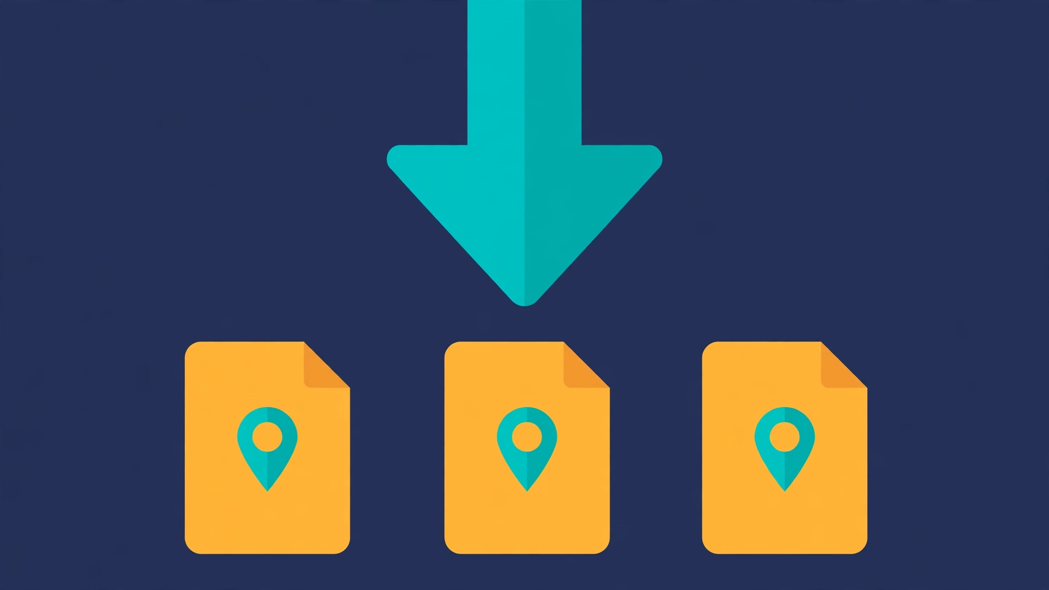
Exporting GPX, KML, or GeoJSON files lets you take your saved places and routes into any GPS app or device. It is the standard way to back up and share map data.
In this guide, you will learn how to export GPX files, how to export KML files, and when GeoJSON is the better pick. You will also learn how to save a route as GPX and download waypoints in one click.
Why export your places and routes
Exporting moves your data out of one tool and into any other. Without it, your saved places are trapped where you created them.
The top reasons to export are backup, sharing, and device transfer. A GPX file in cloud storage survives a cleared browser cache. A shared file gives a friend your exact route. A downloaded file loads onto a Garmin or hiking app with no retyping.
Exporting is also how you switch tools. If you sketch a route in your browser but navigate with a phone app, the export is the bridge between them.
Switching phones is another common trigger. Export before you wipe the old device, import on the new one, and every saved place comes along. All three formats are open standards, so no license or paid software is ever needed.
Think of exports as your data insurance. Apps shut down, accounts get locked, and phones get lost. A GPX file in your email is immune to all three.
How to export GPX files
GPX is the most widely supported format for GPS data. Here is how to export one from LocationMe:
- Save the places you want to keep, using the Saved Places panel.
- Scroll to Export places under the list.
- Tap GPX.
- A file named places.gpx downloads instantly.
Each place becomes a waypoint with its name, note, latitude, and longitude. Open the file in Google Earth, Garmin BaseCamp, or any hiking app to see your pins.
GPX is the safest default when you are unsure. Almost every GPS tool reads it, from fitness watches to professional GIS software. It handles waypoints, tracks, and routes in a single file.
Check the file size after download. A handful of waypoints should be just a few kilobytes. If the file is empty, you may have exported before saving any places.
How to export KML files
KML is Google's format, built for Google Earth. The steps are identical:
- Save your places in the Saved Places panel.
- Tap KML under Export places.
- A file named places.kml downloads.
KML shines in Google Earth, where places render with rich styling and 3D terrain. If your workflow centers on Google Earth, KML is the natural choice.
Most other apps read KML too, but GPX has broader support on dedicated GPS hardware. When in doubt, export both. It takes two clicks.
How to export GeoJSON
GeoJSON is the developer-friendly format. It stores the same points as plain JSON, which web apps and code libraries consume directly.
- Save your places in the Saved Places panel.
- Tap GeoJSON under Export places.
- A file named places.geojson downloads.
Each place becomes a GeoJSON Feature with its coordinates and properties. Paste it into free tools like geojson.io to preview it on a map instantly.
Choose GeoJSON when you build web maps or process data with code. For sharing with people and devices, GPX or KML is friendlier.
Developers can also work with the data programmatically. Because GeoJSON is plain text, it works with standard JSON tools in every programming language.
Many city governments publish open data as GeoJSON. Transit stops, park boundaries, and bike lanes often come in this format.
How to save a route as GPX and download waypoints
Routes export separately from saved places. The process is just as quick:
- Sketch your route with the Route Sketch tool, adding at least two waypoints.
- Tap Export route (GPX).
- A file named route.gpx downloads with every waypoint in order.
The exported route keeps your waypoint sequence, so navigation apps can follow your planned order. Load it into Komoot, AllTrails, or your Garmin to navigate offline.
To download waypoints on their own, save each stop as a named place first, then use Export places. This gives you two files: one for the route line, one for the labeled stops. Our guide to saving and organizing favorite places covers naming tips.
Name your files clearly when you download. "route.gpx" is fine for one trip, but "iceland-ring-road.gpx" is still findable a year later.
How to open exported files on your phone
Downloading the file is only half the job. Here is how to open each format on mobile:
- GPX on Android: open with Locus Map, OsmAnd, or AllTrails. Most file managers offer "Open with" after the download.
- GPX on iPhone: use the Files app, tap the file, then share it to Gaia GPS or AllTrails.
- KML anywhere: open the Google Earth app and import the file from your downloads.
- GeoJSON on the go: upload it to geojson.io in your mobile browser for a quick preview.
If an app refuses the file, check the extension. Some downloads rename .gpx to .xml, which confuses importers. Rename it back and try again.
Some apps need the file in a specific folder. If an import fails, move the file to the app's import folder with your file manager, then retry from inside the app.
How often should you export your data
Export after every meaningful change. Added five new places? Export. Sketched a weekend route? Export. The habit matters more than the schedule.
A monthly backup suits casual users. Weekly fits active trip planners. Before any big trip, export everything and store one copy in cloud storage and one on your phone.
Keep old exports instead of overwriting them. A dated archive lets you recover a place you deleted by mistake. Storage is cheap; lost pins are not.
Label each file with the date. "2026-10-places.gpx" beats "places (3).gpx" every time.
What to do with exported files
| Goal | Best format | Opens in |
|---|---|---|
| Back up your places | GPX | Any GPS app |
| View in Google Earth | KML | Google Earth |
| Build a web map | GeoJSON | Mapbox, Leaflet |
| Load onto a Garmin | GPX | Garmin devices |
| Share with a friend | GPX or KML | Google Earth, map apps |
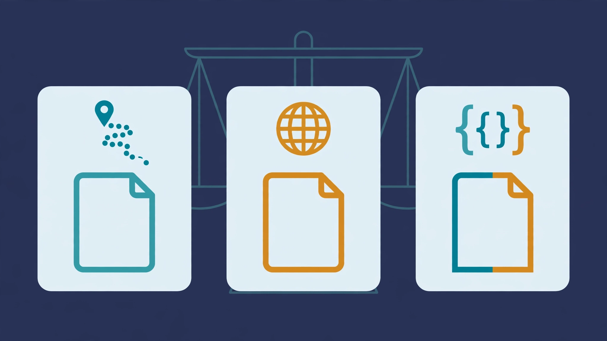
Still unsure which to pick? Our full comparison, GPX vs KML vs GeoJSON: which format should you use, breaks down every difference.
For team trips, share the GPX in a group chat. Everyone loads the same file, so nobody navigates to the wrong trailhead.
Frequently asked questions
How do I export GPX from my saved places?
On LocationMe, tap GPX under Export places. A places.gpx file downloads with every saved place, its name, note, and coordinates.
How do I export KML files?
Tap KML under Export places on LocationMe. The places.kml file opens directly in Google Earth.
How do I save a route as GPX?
Sketch the route with at least two waypoints, then tap Export route (GPX). The file keeps your waypoint order for navigation apps.
How do I download waypoints separately?
Save each stop as a named place, then use Export places. You get one file with all labeled waypoints.
Are GPX files free to create?
Yes. GPX is an open standard, and LocationMe exports it for free with no account.