 LocationMe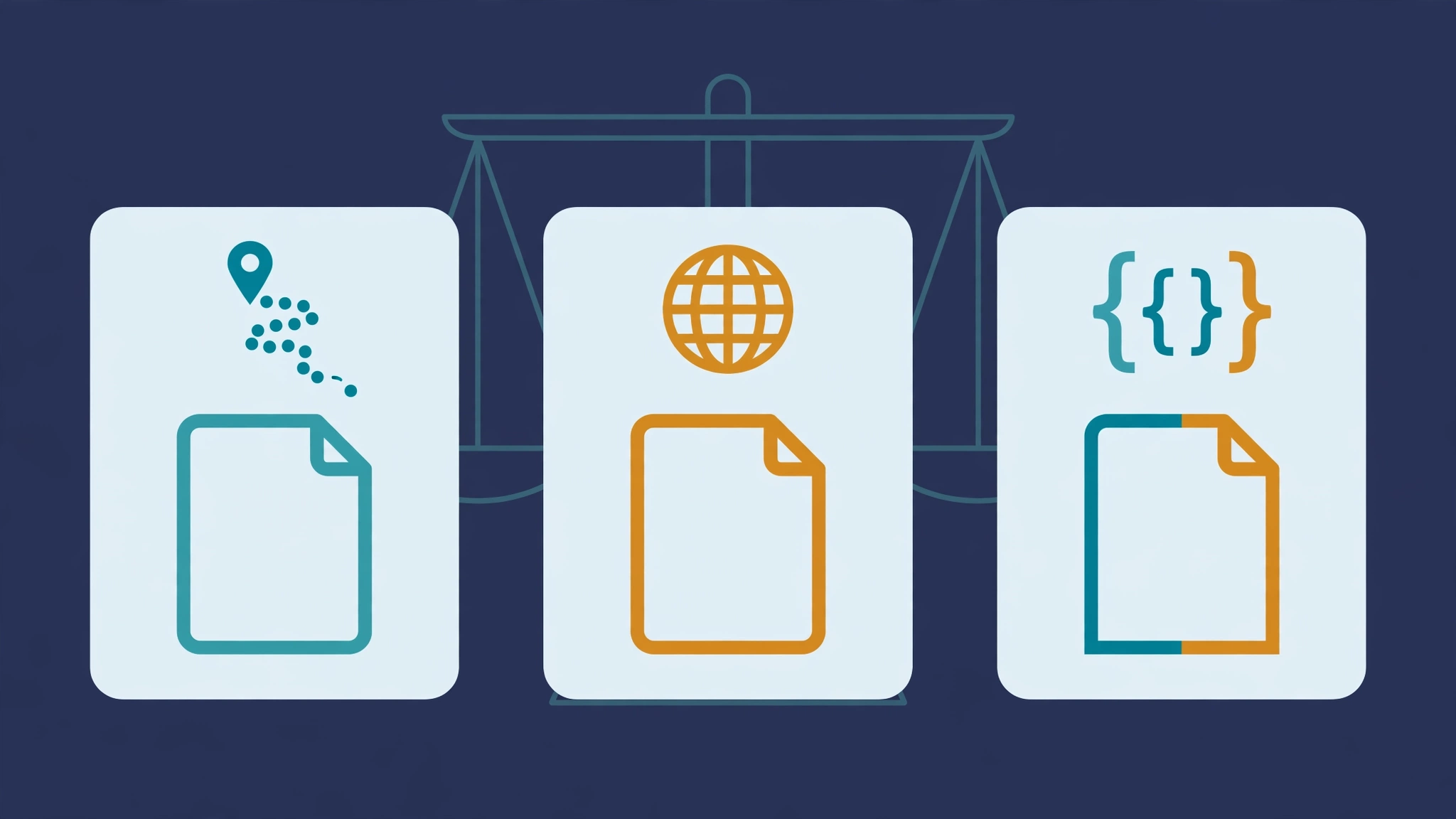
GPX is best for GPS devices and fitness apps, KML is best for Google Earth, and GeoJSON is best for web developers. The right choice depends on where your data is going.
This guide explains each format in plain language, compares GPX vs KML vs GeoJSON side by side, and helps you pick the right one in under a minute.
Below, each format gets a plain-language explainer, then a side-by-side table, then a decision guide. You will know your answer by the end.
What is GPX?
GPX stands for GPS Exchange Format. It is an open XML standard for sharing GPS data between apps and devices.
A GPX file stores three things: waypoints (single points), tracks (breadcrumb trails), and routes (ordered stops). Each entry carries latitude, longitude, and optional details like name and elevation.
GPX is the lingua franca of the GPS world. Garmin devices, hiking apps, cycling computers, and fitness platforms all read it. If you only learn one format, learn GPX.
Its strength is compatibility. Almost nothing rejects a valid GPX file. Its weakness is styling: GPX stores data, not how it looks, so colors and icons rarely survive a transfer.
Many governments publish trail data as GPX. National parks often offer free GPX downloads for every official trail.
GPX files are human-readable XML. You can open one in a text editor and see your coordinates directly. This makes debugging easy when an import goes wrong.
Most fitness apps speak GPX fluently. Strava, Komoot, and AllTrails all import and export it. When you export GPX from LocationMe, the file works in all of them without conversion.
What is KML?
KML stands for Keyhole Markup Language. Google created it for Google Earth, and it is now an open standard.
KML stores points, lines, and shapes like GPX does, but adds rich presentation. You can set colors, icons, 3D models, and even time-based animation.
It is the best pick when the visual matters: presentations, client maps, or layered Google Earth projects. A KML tour can fly a viewer through your route in 3D.
The trade-off is narrower hardware support. Dedicated GPS units often prefer GPX, and some fitness apps ignore KML entirely. For screen-based work, though, KML is unmatched.
KML also supports network links, which refresh data from a URL. Live tracking dashboards use this to show moving vehicles on a shared map.
What is GeoJSON?
GeoJSON is a JSON-based format for geographic data. It is the native language of web maps.
Instead of XML tags, GeoJSON uses simple JSON objects. A point is a few lines of text that any JavaScript app can parse without special libraries.
Developers love it because it plugs straight into Mapbox, Leaflet, and web APIs. Data journalists use it for interactive graphics. If you build for the browser, GeoJSON is the default.
For non-developers it is less handy. Most consumer GPS apps do not open GeoJSON directly, so it is a poor choice for sharing with friends or loading onto hardware.
Because it is plain text, GeoJSON plays well with version control. Teams track map changes in Git exactly like code, with diffs and history.
GPX vs KML vs GeoJSON: side-by-side comparison
Here is every key difference in one place. Scan the "Best for" row first; it answers the question for most readers.
The table looks dense, but you only need one row. Find your use case, read across, and decide.
| Feature | GPX | KML | GeoJSON |
|---|---|---|---|
| Full name | GPS Exchange Format | Keyhole Markup Language | Geographic JSON |
| File style | XML | XML | JSON |
| Best for | GPS devices, fitness | Google Earth, visuals | Web maps, developers |
| Styling support | Minimal | Rich | None (data only) |
| Tracks and routes | Yes | Yes | Yes (as geometry) |
| Hardware support | Excellent | Limited | Poor |
| Human readability | Fair | Fair | Good |
Do GPX, KML, and GeoJSON store the same data?
Mostly, but not exactly. All three store points, lines, and polygons with coordinates. The differences sit in the extras.
GPX adds GPS-specific fields like elevation, timestamps, and heart rate. KML adds styling, camera views, and overlays. GeoJSON adds nothing beyond geometry and properties, by design.
Conversion between them can drop extras. A styled KML becomes plain data in GPX. Timestamps survive in GPX but vanish in basic GeoJSON. Convert early in your workflow, then stick to one format.
Which GPS format should you use?
Match the format to the destination, not to habit. This quick guide covers the common cases:
- Loading onto a Garmin or hiking app? Use GPX. It is the only format every device reads.
- Presenting in Google Earth? Use KML. Styling and 3D make your data shine.
- Building a web map? Use GeoJSON. It drops straight into JavaScript.
- Backing up your places? Use GPX. Future you will thank present you for maximum compatibility.
- Sharing with a non-technical friend? Use KML or GPX. Both open in free apps they already have.
- Archiving old trips? Use GPX. Ten years from now, something will still read it.
When you truly cannot decide, export GPX. It is never the wrong answer for GPS data, only sometimes not the prettiest one.
If you work with a team, agree on one format up front. Mixed formats cause silent errors, like missing waypoints. One standard keeps everyone in sync.
Still torn? Export the same data in two formats and compare. Hands-on testing beats theory every time.
On LocationMe, you can export all three formats from the same saved places with one tap each. Try them and see which fits your workflow.
How to convert between formats
Stuck with the wrong format? Conversion is easy and free.
GPSVisualizer.com converts between GPX, KML, and GeoJSON in your browser. Upload the file, pick the target format, and download the result. No account is needed.
For bulk conversion, the free tool GPSBabel handles thousands of files from the command line. Developers can convert GeoJSON with a few lines of Python or JavaScript.
After converting, always spot-check the result. Open the new file and confirm the point count matches the original. A quick glance catches most conversion glitches.
Our guide on how to export GPX, KML, and GeoJSON files shows how to get each format from your saved places.
Frequently asked questions
What is the difference between KML and GPX?
GPX is built for GPS devices and maximum compatibility. KML is built for Google Earth and rich visuals like colors, icons, and 3D. Use GPX for hardware, KML for presentation.
Which GPS format should I use?
Use GPX for devices and fitness apps, KML for Google Earth, and GeoJSON for web development. When unsure, GPX is the safest default.
What is GeoJSON, explained simply?
GeoJSON stores map data as plain JSON text. Web developers use it because browsers and JavaScript read it natively, with no special software.
Can Google Earth open GPX files?
Yes. Google Earth imports GPX, though styling may look plain compared to native KML.
Which format is smallest?
GeoJSON is usually the most compact for the same data. GPX and KML carry XML overhead, though zipped KMZ versions shrink a lot. For email attachments, zipped KMZ is often the most practical.
Sketched a route you want to keep? Learn how to sketch a route and plan a multi-stop trip, then export it in your chosen format.